We’re Innovating the Science of Measurement in Louisville, Kentucky.
3D Laser Technology | 3D Modeling | Virtual Tours | Data Collection | Custom Photography & Video
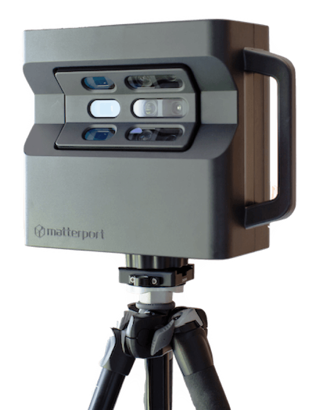

The Matterport Camera
The Matterport Pro 3D Camera collects accurate visual and spatial data to map entire areas in minutes.
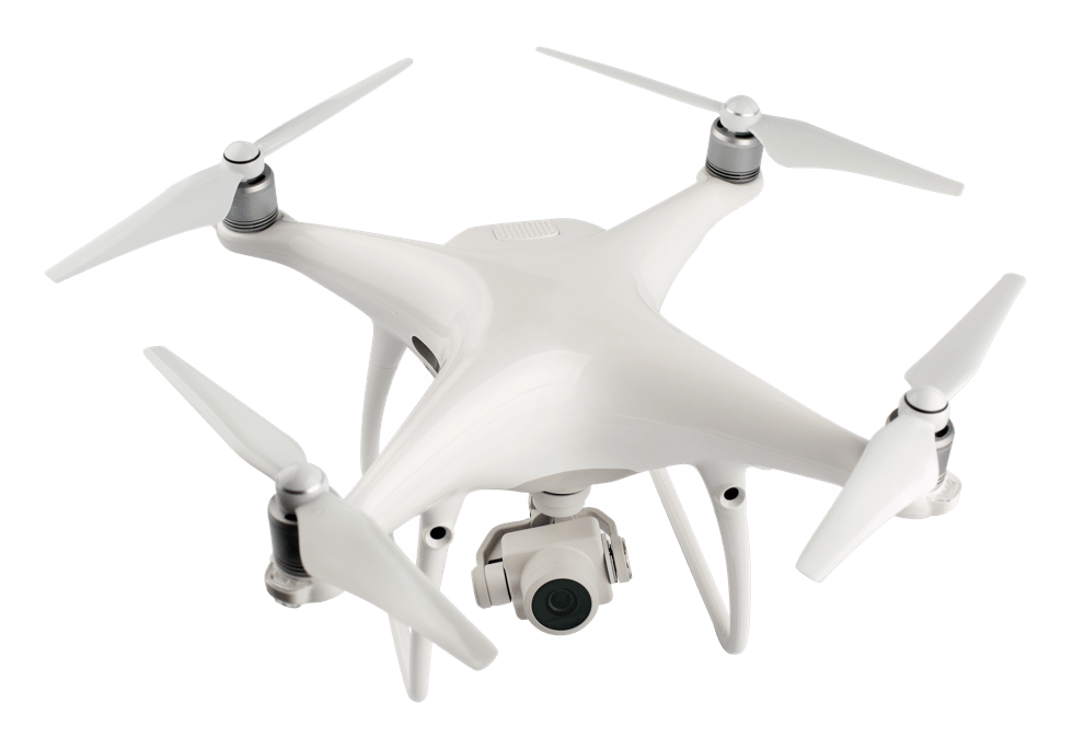

DJI Phantom 4 Drone
The DJI Phantom 4 Drone captures high resolution images that are used by various software to create 3D point clouds used in the design process.
Explore Our Innovative Work
We create stunning VR projects for new construction projects, geographic site planning, real estate properties and more. Explore these sites to see what our technology is capable of.
 Explore this Project
About Metrology
Metrology Innovations provides contract services designed to help industrial and commercial clients measure their space.
Meet Us
Careers with Us
We’re always keeping an eye out for talented, hardworking and dedicated individuals to join our team.
See Open Positions